


| | |
| Explore the Rideau Canal and Friends of the Rideau by following these links: |
The Rideau Route 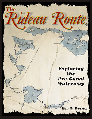 The Rideau Route: Exploring the Pre-Canal Waterway reveals the secret world that lies below the waters of the Rideau Canal – the drowned landscape of the original Rideau Route. The Rideau Canal Waterway that we see today is a flooded environment, created by the building of canal dams, in 1826-31, to form a slackwater navigation system. In the pre-canal era, the Rideau Route spanned three watersheds, those of the Rideau River, the Gananoque River and the Cataraqui River. It was a wild place of lakes, marshes, canyons, rivers and sinuous creeks, the latter two often interrupted by rapids and waterfalls.
Watson takes the reader on a 1783 canoe trip along the Rideau Route, from present day Ottawa to Kingston, revealing the rapids, waterfalls, marshes and lakes that existed prior to any European settlement along the route. This was the same year that Lt. Gershom French made the first survey of the Rideau Route, travelling in two birch bark canoes along the Rideau Route, with “seven men of the Provincials, Two Canadians and an Indian as Guide.” Watson reveals what French, as well as later Rideau Route surveyors, such as Lt. Joshua Jebb in 1816 and Samuel Clowes in 1823/24, saw on their journeys. Transcriptions and maps of Lt. French’s 1783 survey as well as those of Lt. Joshua Jebb in 1816 and Samuel Clowes in 1823-24 are included as first hand accounts of the route. This newly revealed pre-canal landscape will allow the reader to better understand and appreciate the enormous engineering achievement of the Rideau Canal. The book is profusely illustrated with maps, period paintings and interpretive illustrations. Anyone with an interest in the Rideau Canal, or simply an interest in early Canadian history and geography, will find The Rideau Route an interesting (and educational) read.
Comments about the website email: webmaster@rideaufriends.com |